 FLASH SALE: EVERYTHING HALF PRICE! LIMITED TIME ONLY!
 Sale!
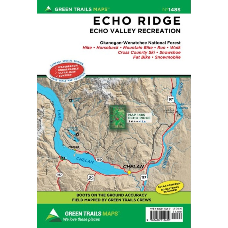
Sale! Green Trails Echo Ridge 148S
- $12.00
- $9.60
12 x 18 in. unfolded (shipped folded, 6 x 9). waterproof, tear resistant, ultralight map printed on Polyart.As every experienced backcountry adventurer knows, possessing solid tools for navigation is one of the Ten Essentials for a safe adventure. There ar
- 100% Happiness Backed or Your Money Back
- Free Delivery on 30+ Orders
- 60-Day Hassle-Free Returns
12 x 18 in. unfolded (shipped folded, 6 x 9). waterproof, tear resistant, ultralight map printed on Polyart.
As every experienced backcountry adventurer knows, possessing solid tools for navigation is one of the Ten Essentials for a safe adventure. There are, of course, many technological options out there, but to truly be prepared theres really nothing better than a paper map–and theres absolutely no better map than a color topographic Green Trails map. Fully vetted and high quality, Green Trails maps are not only useful for trip planning but will keep backcountry travelers on track, long after the batteries have died on other navigational devices.
Each map includes:
Trails coded for hikers only, as well as mountain bikers, stock, skiers, and snowmobilers
Icons for parking and picnic areas, tent camping and RV spaces, bathrooms and backcountry toilets, points of interest, waterfalls, springs, and gates
Dot-to-dot trail distances, contour intervals, adjacent map numbers, and permits required
Land designations: national and state parks, national forest, wilderness, DNR land, private land, tribal land, and others
Cost:
$25
Free Shipping:
We offer free shipping on orders over $30. Please check the free - shipping eligibility at checkout.
Delivery Time:
It usually takes [3-5] business days for standard shipping. Please note that this is an estimated time frame and may be affected by local holidays, and unforeseen circumstances.

Reviews
There are no reviews yet.